Technology
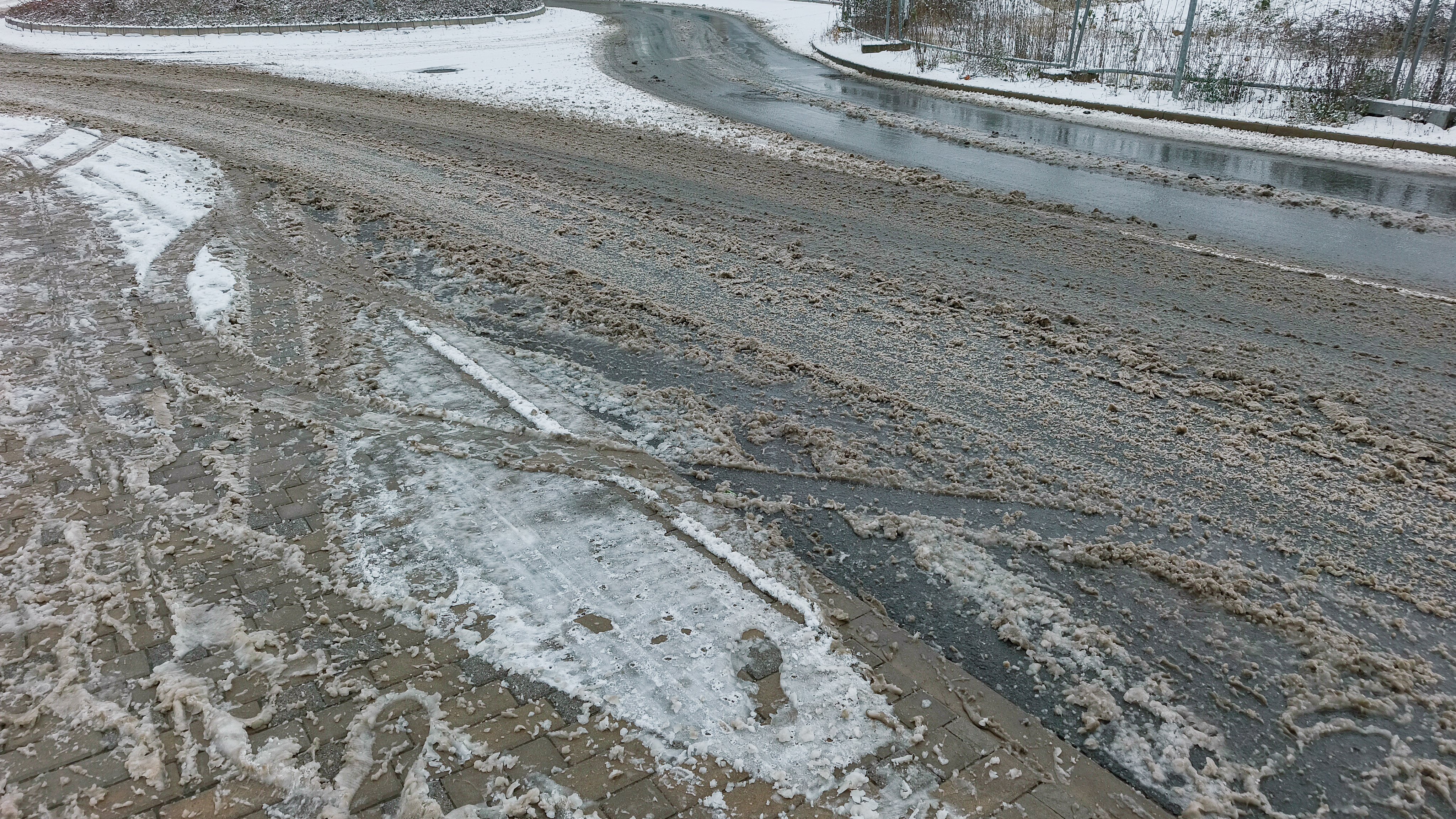
Winter weather advisory in effect for parts of the Chicago area with slushy, wet conditions
By Carlos Ramirez
Advertisement · Why this ad?
David Gonzalez is a dedicated reporter with a focus on local government and policy. He holds a Master's in Public Affairs from the University of Illinois at Chicago and has previously reported for the South Side Weekly, diving deep into municipal issues.
More from David →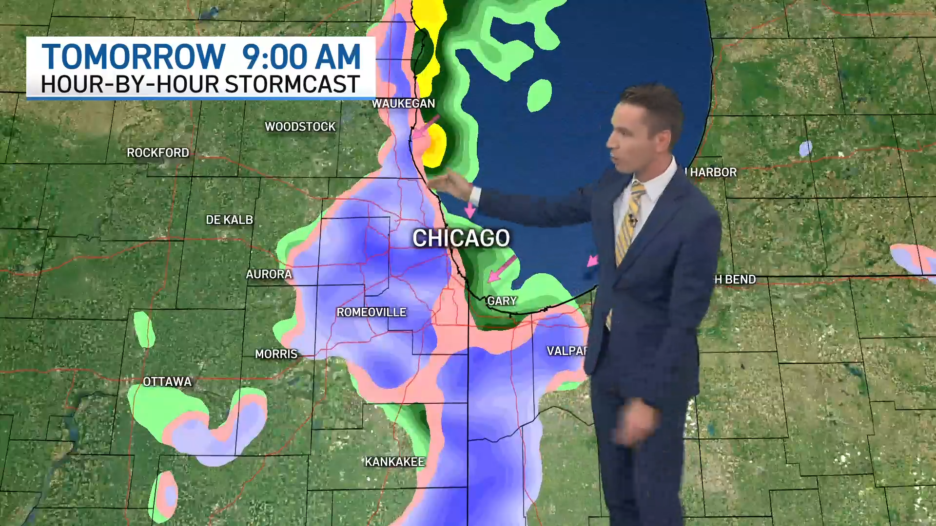
Chicago Weather How much snow could you see and when? What to know depending on where you live It's important to note that conditions could change dramatically in a short distance, with the NWS warning "visibilities can also vary greatly." By Alex Dvorak • Published November 12, 2026 • Updated on November 12, 2026 at 4:00 pm NOTE: For the latest forecasts on the potential snowfall, click here. Parts of the Chicago area could see their first taste of snow this winter season this week, with the potential for challenging conditions and even multiple inches of accumulation, depending on where you live. Stream NBC 5 for free, 24/7, wherever you are. WATCH HERE While it may not be here to stay, the brief burst of winter weather will look different across the region, with some seeing the first winter weather advisory of the season and others likely seeing more rain than snow. So what will you see and when? Here's a timeline: When will snow begin? While rain is expected periodically throughout the day Thursday, the chance for snow doesn't begin until the evening and overnight hours into Friday. Weather Chicago Weather 2 hours ago Winter weather advisory in effect for parts of the Chicago area with slushy, wet conditions Chicago Weather 3 hours ago Chicago's Forecast: Sunshine and Slush A winter weather advisory will take effect in Lake County, Indiana starting at midnight. "After about 6 p.m. or 7 p.m., there may be a transition of a mix of rain and snow, but the greatest chance of accumulating snow is going to be after midnight," NBC 5 Storm Team Meteorologist Kevin Jeanes reported. The National Weather Service warned that timing could shift depending on conditions, however. "Confidence remains low in timing of changeover to snow and the position of the band (which will likely wobble at time)," the NWS reported. How long will the snow last? The first round of potential snow will last through about 10 a.m., according to Jeanes. That's when the winter weather advisory in Lake County, Indiana, is expected to end. "There could be some accumulations in those areas under the Winter Weather advisory, but even around Chicago, 6 a.m. through about 10 a.m. or 11 a.m. could be some snow still mixing with the rain, and again, temperatures close enough to freezing [Friday] morning. We'll have to be mindful of that," Jeanes said. A second round of potential snow could also arrive with more precipitation expected Friday afternoon and evening and into Saturday morning. While that round is expected to stay mostly rain, a transition to snow is once again possible in the evening and overnight hours south of Chicago and into parts of northwest Indiana. 🧵(1/3) Here is an updated look at the lake effect rain and snow showers expected the next few days. The potential for slushy snow accumulations has increased for tonight - early Friday morning, especially near and east of I-57 and north of the Kankakee River. pic.twitter.com/qBmQXaQYEx — NWS Chicago (@NWSChicago) November 12, 2026 Where will snow fall and how much is expected? The biggest chance for snow will sit in regions expected to see a lake effect snow band near and east of the Illinois-Indiana state line. According to the NWS, that includes areas east of Interstate 57 near and north of the Kankakee River. Warmer air temps could keep the precipitation rainy for areas along the lakeshore, leaving some inland locations more likely to see the transition to snow. For Lake County, Indiana, accumulations of wet snow are most "likely away from the lakeshore with localized snowfall totals of 3 inches or greater possible. If the rain transitions to snow early enough, even higher totals are possible in localized areas, with the heaviest bands potentially producing 10 or more inches of snowfall, according to the NBC 5 Storm Team. NBC 5 NBC 5 It's important to note, however, that conditions could change dramatically in a short distance with a lake effect snow band. "During lake effect snow, the weather can vary from bands of locally heavy snow to dry weather just a few miles away. Visibilities can also vary greatly. Be prepared for rapid changes in weather, visibility, and road conditions," the NWS reported. Areas west and northwest of Chicago are likely to stay mostly rain, if any precipitation. What else should you expect? Because conditions have been warmer than normal in the lead-up to the snow event, any snow that does fall will likely melt quickly or become more of a "wet, slushy, kind of half melted snow," Jeanes said. "The ground is already quite warm. So as that snow begins to fall, it's going to get compacted too," he said. The conditions could make for some challenging driving conditions too. "This northwestern corridor of Indiana, including southern Cook County to maybe eastern Will and eastern Kankakee County could be a slick morning commute [Friday]," Jeanes said. The winter weather advisory in Indiana warns drivers to "be prepared for slippery roads." "Slow down and use caution while driving. If you are going outside, watch your first few steps taken on stairs, sidewalks, and driveways. These surfaces could be icy and slippery, increasing your risk of a fall and injury," the alert states. While conditions are expected to stay cold Saturday, temperature highs are expected to shift back into the 50s by next week. This article tagged under: Chicago Weather
By Carlos Ramirez

By Keisha Patel

By Lisa Nguyen

By Aaron Chen